The browser version you’re using is not supported
Switch to one of these browsers for the best experience and to access Editage services today
 login
login
Switch to one of these browsers for the best experience and to access Editage services today
3,000+ native English editors. 1,600+ subjects of expertise. Your publication success is our mission
Years
Anniversary offers >>
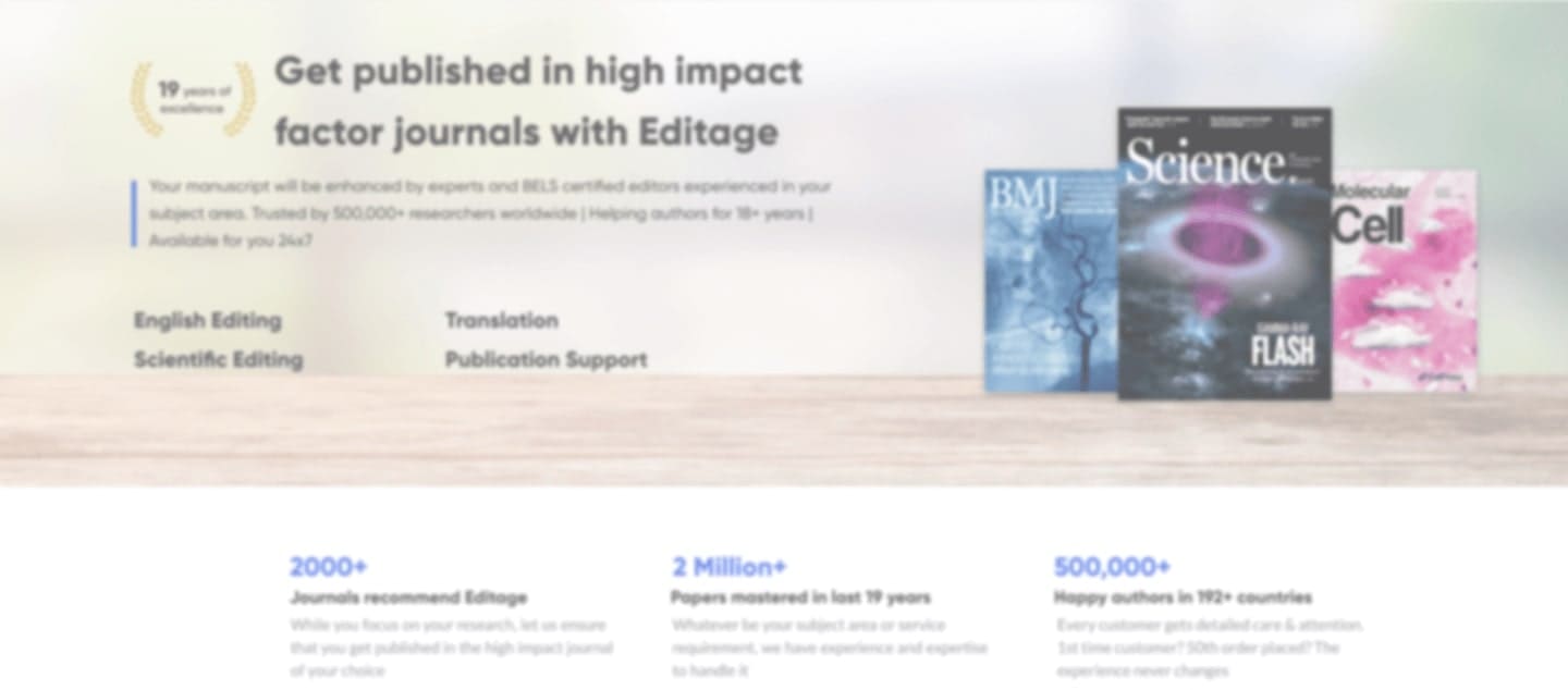
Journals recommend Editage
Which means publishing in the international journal of your choice is easier!
Papers enhanced in last 20 years
We have all your subject area and service needs covered, whatever they may be.
Happy researchers in 192+ countries
You can be assured that your work will be handled with the highest personalized care and attention to detail.
Our team of publication experts caters to your needs at every step of your academic journey. From editing to translation, journal selection to research promotion, we offer a variety of personalized services with one unwavering goal: to accelerate your publication success.
,, I was supported by Editage team through the whole process of preparing the manuscript. Thank You! - Mariusz Sieminski ,,
Whether you are a student or a well-published researcher, we support you until you are successfully published. Our services cater to all your work, research manuscripts, abstracts, theses, books, letters; you will always have a wide range of services to choose from.
Editage's AI-driven allocation mechanism matches your paper to the best suited expert. Our 10-point matching system reads your subject area, style preferences, and eight other parameters to send your paper to a cohort of experts with the highest match scores to your paper.
The service you receive is built completely according to your preferences and decisions. You have the autonomy to select your delivery plan, price, expert, deadline, and style. This way, you take the final decisions at every step of the service you receive. You also have the choice of collaborating with your expert many times to ensure that you receive the best version of your paper.
Our dedicated global R&D team upgrades our systems every day, applying the learnings from editing millions of lines. Our tech helps us work quicker, better, and more efficiently to learn fast and evolve faster so that you publish faster with the highest quality.
DK
University of Missouri
Achievements
Publication Experience
Journal of Physiology | American Journal of Physiology-Endocrinology and Metabolism | Neur...
Reviewer performance
Antioxidants | International Journal of Environmental Research and Public Health | Sports | Jou...
Praise from customers
“The comments are accurate, and I can proceed with confidence.”
Graduate student, Graduate School of Medical and Dental Science Niigata University
“I am very greatfull with your attention and expertise.”
Doctor/Medical professional, Hospital de Clínicas de Porto Alegre
AL
Ohio State University College of Medicine
Achievements
Publication Experience
Journal of Plastic | Reconstructive & Aesthetic Surgery | BMJ Open | Pediatrics Internati...
Praise from customers
“This time, your useful advices again really helped me in revising my manuscript. Without your help, my manuscript could have never been completed. Thank you so much!!”
Associate professor, Kyushu University Hospital
“I am currently modifying it according to the comments. I am satisfied with the very high quality manuscript. Thank you for your continued support.”
Medical professional, Dongdae Hospital
JM
University of Stellenbosch/University of Oxford
Achievements
Publication Experience
Interdisciplinary Neurosurgery Advanced Techniques and Case Management | International Jo...
Praise from customers
“You understood our meaning well.”
Medical professional, Nagahama Red Cross Hospital.
“Thank you for your excellent work!”
Professor
KG
University of the Witwatersrand
Achievements
Publication Experience
Bone and Joint Journal | Journal of Orthopaedic Science | Journal of Clinical Medicine
Praise from customers
“Thank you for your meticulous and excellent work. I've turned that gratitude into a communication force to inform more authors. I look forward to your continued help. Thank you ver...”
Professor,Cardiac Study Center
“Thank you very much for the careful editing. ”
Doctor/Medical professional
CM
University of Cape Town
Achievements
Publication Experience
BMC Infectious Diseases | BMJ Open | BMC Cancer | Culture, Health & Sexuality | Internatio...
Praise from customers
“Specifically this editor provided significant contributions to my manuscript. I really thank her and appreciate her work with my manuscript. Sincerely, Rabiye ”
Assistant professor, University of Health Sciences-İstanbul
“Thank you for your work.It really improved our manuscript not only grammatically but scientifically.”
Professor, Fujita Health University School of Medicine
In the rare case our work fails to delight you, we'll re-work on it till you're 100% happy.
And if you are still not satisfied, you get a full refund of your fees, no questions asked.
We always help you meet your deadlines, often, by turning around work in just 8 hours
And, if we ever miss a promised deadline by even one minute, we offer a full refund of your fees.
We work hard to protect your work. All our experts and employees follow a strict NDA.
Your files are also secure on our latest ISO standard systems (ISO/IEC 27001:2013 certified).
Easy payment options
Pay in your local currency or through your preferred bank. No hidden charges.
Local invoice formats
01 Place an order
Select your preferred plan, price and timeline
02 Our technology kicks in
And matches your paper to the right expert based on your research topic and preferences
03 2 Experts get on the job
All assignments undergo at least 2-step revisions for high quality delivery
04 Make your payment & download your enhanced work
Review our work, ask questions, and collaborate.
8 Hour
Working on a strict deadline? Get your documents edited in as fast as 8 hours.
100%
Satisfaction
You’re protected by an iron-clad quality guarantee – 100% on-time delivery and quality satisfaction or your money back.
Unlimited
Q&A
Get every question about your assignment answered by the experts who worked on your manuscript.
Choose a Journal
Preparing your manuscript
Submit your manuscript
Impact with your research
Dr. Kumika Tamada
Dr. Husam Muslim
Mr. Hasan Gönde
Dr. Jinshi Xu
Comprehensive and in-depth resources for all stages of manuscript writing and publication. Enhance your knowledge with Editage Insights where you get free access to 3,000+ research and publishing resources.
Articles
Q&AForums
Workshops & Webinars
Podcasts
Videos
Guides & Courses
Infographics
Slides
*Disclaimer: All third-party trademarks (including logos and icons) of journals / publishers, etc. referred to on this website remain the property of their respective owners. Use of third-party trademarks does not indicate any affiliation, sponsorship with or endorsement by them. Any references to third-party trademarks is to identify the corresponding services and shall be considered fair use under The Trademarks Law. We are not implying that purchasing this service will ensure publication in any journal.